Germany
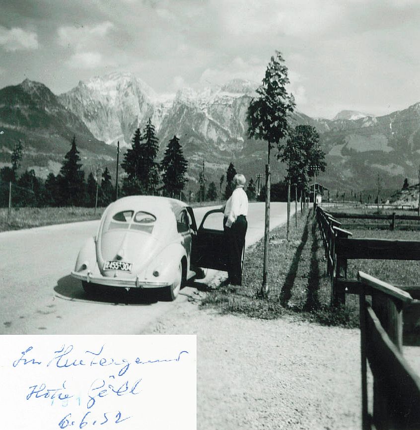
Berchtesgaden, Hoher Göll
Description:
Another mystery...back side of old print photo indicates (?) 'Im Hinterge???? Hohe Göll 6.6.52'. Hohe Göll is a mountain near Berchtesgaden but picture does not match with Internet pix from 'Hohe Göll'. And I did not find any place in that region starting with 'Hinterge????', except a parking lot 'Hintergerner' but that does not seem to fit. Need expert help...Many thanks!
Status:
Already located!
Solution:
Berchtesgaden, Hoher Göll
Lat/Lng:
47.62689417799089, 12.961206686157198
Found by:
Michael.
Affiliate link
@Michael - yes, it's interesting to compare that Berchtesgaden360 pic to "our" pic. There are two quite characteristically-shaped meadows at the mountain slope at the very right. In the old pic, they are "below" the small summit; in the pic you've linked, the small summit is left of them. So, a line drawn from the summit to the picture location must be westwards compared to the B360-pic (in my first comment, fifth from below, i erroneously wrote "east"...). Maybe this fits the B20...
It *might* be Silberbergstraße (B 20), wets of Berchtesgaden. I've created a pic in google earth that seems to fit the mountain / wood / meadow pattern in the background. the Silberbergstraße seems to be the only bigger street pointing in the right direction and providing a right-hand bend.
see: external link
Please compare the following pic: external link - i assume the old photo was taken at a place northeast of that pic, not far away (compare the wood / meadow on the mountain at the very right)
Marker put close to summit of the Höher Göll.
Höher Göll.
The Hoher Göll is a 2,522 m (8,274 ft) mountain in the Berchtesgaden Alps, the highest peak of the Göll massif, which straddles the border between the German state of Bavaria and Salzburg, Austria.
external link
Im Hintergrund Hohe Göll = In the background Hohe Göll.
But I couldn't find what you are looking for.
Good luck ...
9 comments