Italy
Arabba
Description:
need some help of the experts here....sign says 'Rio Campolongo', so north of Arabba at Passo Campolongo...but I did not find those buildings in street view (of course might have changed but I dont think its probable...) nor the mountain view. On the back of the pic is written 'Pordoijoch' so at least the area seems to be correct...but where exactly?
Status:
Already located!
Solution:
Arabba
Lat/Lng:
46.49868403526049, 11.87600101198575
Found by:
Affiliate link
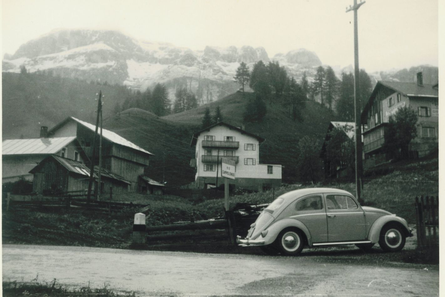
At a first sight I read "Via Ciamplong", in line with the local dialect, that today is admitted in official signals, actually not 50 years ago; expanding the photo it appears clearly "Rio Campolongo" in Italian. So the signal indicates a small stream (rio). Sorry for my mistake, but the substance is the same: the sign confirms Arabba.
Perfect...many thanks!
There's no final proof, but i assume the pic was taken at or near via Mesdi in Arabba. I've set the pin accordingly, view goes to WNW.
Regarding the partly wooden house at the left: please compare the following StreetView pic: external link (from different angle: external link )
There's some sort of balcony or bay (Erker) at the house at the right - might be visible on Streetview: external link - if this matches, then the house behind the "Trattoria" (house with Erker) is nowadays the Macelleria Delmonego in Arabba. The white house in the center doesn't exist any more, it's replaced by former Cesa Arnica.
Good: the sign indicates "Via Ciamplong". It is the road to Passo Campolongo and Val Badia.
I think it's somewhere *in* Arabba. Please compare the mountain's Silhouette with the following street view panorama: external link
This would fit the name "Rio Campolongo", too.
7 comments